Most people who visit Tottori come for the sand. The dunes stretch along the Sea of Japan coast like a landscape that doesn’t belong — wind-sculpted ridges rising nearly ninety meters, the kind of place that makes you stop and recalibrate where you are. They’re genuinely impressive. But the dunes, as dramatic as they are, have a tendency to swallow the rest of the prefecture whole. Visitors arrive, photograph the sand, and leave. Tottori, meanwhile, keeps its better stories to itself.
Tottori Prefecture sits in the San’in region along Japan’s northwestern coast, facing Korea across a grey, restless sea. It’s consistently ranked as Japan’s least populous prefecture — a fact that gets repeated so often it’s become a kind of shorthand for irrelevance. But low population density in Japan doesn’t mean emptiness. It means space, quiet, and a slower version of the country that most travelers never find because they’re not looking in the right direction.
The San’in Coast and the Light That Changes Everything
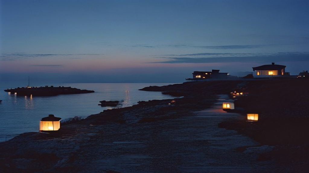
The San’in Coast National Park runs along Tottori’s shoreline in a way that defies the usual national park experience. There are no grand entrance gates, no crowds waiting for shuttle buses. You drive or cycle along Route 9 and the park simply appears — sea stacks rising from the water, pine forests pressing against clifftops, fishing villages tucked into coves that look like they’ve been there since before maps were accurate.
The light along this coast is specific. On overcast days, which are common here especially in winter and early spring, the Sea of Japan takes on a pewter color that turns the pine trees almost black by contrast. It’s not the photogenic blue-sky Japan of travel posters. It’s something older and more serious. Local painters have worked this coastline for generations, and you understand why when you stand at Uradome Coast and watch the water move through the sea cave openings at low tide.
Uradome itself is best explored by kayak or small boat. The rock formations here — eroded into arches, tunnels, and narrow channels — are the result of millions of years of wave action on the volcanic coastline. A guided boat tour from the small harbor at Iwami takes about forty minutes and costs around 1,500 yen. It’s worth it for the perspective alone. From the water, you see the scale of the cliffs properly, and you notice the cormorants nesting in the rock faces in a way you’d completely miss from the road above.
Kurayoshi: A Merchant Town That Kept Its Bones
About thirty kilometers inland from the coast, Kurayoshi sits in a river valley in the kind of quiet that feels earned rather than accidental. The town’s historic district — a cluster of whitewashed storehouses along the Tamagawa River — is the kind of place that makes you slow down without being asked to.
The storehouses, called shirakabe dozō, date mostly from the Edo and Meiji periods when Kurayoshi was a prosperous merchant town on the trading routes through the San’in region. They’re built in the traditional fireproof style: thick earthen walls coated in white plaster, heavy wooden doors, dark tile roofs. Several have been converted into cafés, craft shops, and small museums, but the conversion has been done carefully. The buildings still look like they belong to the river rather than to tourism.
Walk the canal path in the early morning before the few tourists who do visit have arrived. The sound of the Tamagawa running over its stones, the smell of old timber warming in the sun, the sight of koi moving slowly under the bridge — it’s the kind of sensory accumulation that makes a place stick in memory. There’s a small sake brewery near the storehouse district that offers tastings. The local rice wine here is made with water from the Daisen volcanic massif that dominates the southern skyline, and the mineral profile of that water gives the sake a particular softness.
What Kurayoshi Reveals About San’in Merchant Culture
The storehouses aren’t just pretty buildings. They represent a specific chapter in Japan’s commercial history when inland San’in towns served as critical nodes between the coastal trading ports and the agricultural inland. Merchants stored rice, indigo, and silk here. The architecture reflects the anxiety of that wealth — these buildings were designed above all to survive fire, which was the constant threat to any prosperous Edo-period town.
Understanding this changes how you look at the buildings. The white walls aren’t decorative. They’re armor.
Mount Daisen: The Volcano That Shapes Everything
Daisen is the kind of mountain that organizes a landscape around itself. At 1,729 meters, it’s the highest peak in the Chugoku region, and from almost anywhere in central Tottori, it appears on the horizon like a reference point the prefecture has oriented itself by for centuries.
Locally it’s called Hōki Fuji — the Fuji of Hōki Province — because from the south, its symmetrical cone resembles the more famous volcano. From the north, the profile breaks apart into a jagged ridge, revealing the collapsed crater wall. Both versions of the mountain are worth seeing.
The hiking trail to the summit follows a route that Buddhist pilgrims have used since the eighth century. Daisen-ji Temple at the mountain’s base was once a major center of mountain worship, attracting monks and pilgrims who believed the mountain itself was sacred. The temple complex is quiet now, its buildings half-hidden under enormous cedar trees that have been growing since the Heian period. Even without climbing the mountain, spending an hour walking the temple grounds and the old stone-paved approach road gives you a sense of what this place meant to people before it became a hiking destination.
The beech forest on Daisen’s slopes turns in mid-October. The color is not the maple-red that Japan’s autumn tourism is built around — it’s gold and amber and pale yellow, quieter and more sustained. The forest floor turns the same colors as the canopy. Walking through it feels like moving through something that’s lit from inside.
Mitokusan Sanbutsu-ji: The Temple Built Into a Cliff
If Tottori has one place that earns genuine awe rather than just appreciation, it’s the Nageiredo hall at Sanbutsu-ji Temple on Mount Mitoku. The hall — a small wooden structure wedged into a natural cave high in a sheer cliff face — is considered one of Japan’s most inaccessible sacred buildings. It was supposedly thrown into position by the Buddhist monk En no Gyoja in the seventh century. The name Nageiredo means “thrown-in hall,” and looking at where it sits, the legend doesn’t feel entirely unreasonable.
Reaching it requires climbing the mountain on a trail that involves chains, ladders, and sections of near-vertical rock. You rent straw sandals at the base because regular shoes don’t grip the wet rock. The climb takes about forty minutes each way and is genuinely challenging. It’s not suitable for anyone with a fear of heights or limited mobility, and the trail closes in wet or icy conditions.
But the hall itself — when you finally stand on the narrow ledge before it and look out over the forested valley below — is one of those rare moments where Japan’s relationship between landscape and spiritual belief becomes physically, bodily apparent. This wasn’t built here for convenience. It was built here because the difficulty was the point. The inaccessibility was the devotion.
That instinct — to make the sacred hard to reach, to embed meaning in effort — runs through Japanese religious culture in ways that are easy to miss if you’re moving quickly. The Abandoned Post Towns of the Nakasendo: What Happens to a Road When History Moves On touches on a similar idea: that the road itself, the physical experience of traveling it, was inseparable from whatever waited at the end.
Getting to Tottori and Moving Around
Tottori is accessible by the JR Super Hakuto limited express from Kyoto in about two and a half hours, or from Osaka in around two hours. The San’in Kinki Tourist Pass covers the rail lines through the prefecture and is worth purchasing if you’re traveling the region over several days.
A rental car is genuinely useful here. The distances between the coast, Kurayoshi, Daisen, and Mitokusan don’t work well on public transport schedules, and much of what makes Tottori interesting is found along secondary roads that buses don’t serve. Driving the coastal road in particular is one of those experiences that earns its time — the road follows the cliff edge closely enough that the sea is almost always in your peripheral vision.
Spring and autumn are the most comfortable seasons. Summer brings humidity and occasional crowds at the dunes. Winter is cold and grey, but the Sea of Japan coast in winter has a specific atmosphere — low skies, rough water, empty roads — that some travelers find more honest than the polished version Japan presents in warmer months.
How Long to Spend in Tottori
Three full days is the minimum to do the prefecture any justice. Four is better. Spend a morning at the dunes if you want — they’re worth seeing — but allocate the rest of your time to the places that don’t appear on the first page of search results. The storehouses at Kurayoshi on a quiet morning. The cedar path up to Daisen-ji. The climb to Nageiredo with straw sandals on your feet and the valley dropping away below you.
Tottori doesn’t perform for visitors. It doesn’t need to. It simply exists, in its particular combination of coast and mountain and old merchant town, waiting for the kind of traveler who’s willing to arrive without an agenda and pay attention to what’s actually there.
The sand dunes are the beginning of the story, not the whole of it.