You’ve got the address written down. You’ve typed it into Google Maps. You’re standing in the right neighborhood, more or less — but the building you’re looking for isn’t where it’s supposed to be. The numbers seem to jump from 14 to 27. There’s a gap where a street should be. Nothing adds up.
Welcome to the Japanese address system, which is, by Western standards, completely backwards — and once you understand why, it changes how you navigate the entire country.
The Address System That Confused the World
In the United States, Canada, the UK, and Australia, addresses work by street. You find the street first, then count numbers along it. House number 12 comes before number 14, which comes before number 16. Simple, linear, predictable.
Japan doesn’t do this.
Japanese addresses work by area, not by street. The system moves from large to small: prefecture, then city, then a district called a ku (ward) or machi (town), then a block number called a chome, then a smaller block number, then finally a building number. Streets — the thing you’d use first in the West — barely appear in the address at all.
That building number at the end? It was assigned when the building was constructed, not based on where it sits on a block. So number 7 might be next to number 23. The building that went up first got the lowest number. The one built thirty years later got a number that means nothing geographically.
This isn’t an oversight. It’s a different logic entirely.
Why Japan Built Its Cities This Way
For most of Japan’s history, cities weren’t organized around streets. They were organized around communities. Neighborhoods — called cho or machi — were self-contained social units. People knew where things were because they knew the neighborhood, not because they counted house numbers along a road.
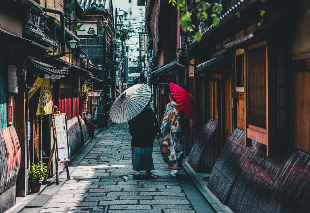
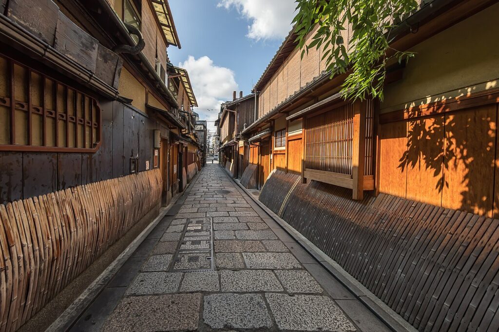
Streets in old Japanese cities were often unnamed. They were the spaces between things, not things in themselves. The city was defined by its blocks and districts, not its roads. This is still visible in older neighborhoods today, where lanes wind without names, and locals navigate by landmarks: the temple gate, the tofu shop that’s been there since the Showa era, the corner with the old stone lantern.
The formal numbered address system Japan uses today was introduced during the Meiji period as the country modernized, but it was layered over this older logic. The block-and-building system stayed. Streets still largely went unnamed.
What This Means When You’re Actually Navigating
For travelers, the practical consequence is this: a Japanese address will get you to the right block, but not necessarily to the right door. Once you’re in the correct chome, you may still need to walk the perimeter of the block, reading small metal plates on buildings or fence posts, to find the specific number you want.
In central Tokyo or Osaka, Google Maps handles most of this reasonably well. But in smaller cities, older neighborhoods, or anywhere the map data is slightly out of date, you’ll find yourself standing in the right area with no obvious way to close the last fifty meters.
A few things help enormously.
Save the Map Pin, Not Just the Address
When booking a hotel, restaurant, or attraction, always save the Google Maps pin directly — not just the text address. The pin places a dot on the actual location. The text address only tells you the block. This single habit eliminates most navigation confusion before it starts.
Look for the Small Metal Plates
In most Japanese neighborhoods, small metal or plastic plates are mounted on utility poles, walls, and fence posts at intersections. These show the chome and block number for that exact point. Once you understand the address structure, these plates let you triangulate your position on a block even without a phone signal. They’re easy to miss until you know to look for them — after that, you’ll see them everywhere.
Use the Postal Code
Japan’s postal codes are remarkably precise. A seven-digit postal code often narrows a location down to a single block or small cluster of buildings. When you’re searching in Google Maps or Apple Maps, entering the postal code alongside the building number is frequently more reliable than entering the full address as a string of text.
Ask for a Map or Landmark Description
Many Japanese businesses — especially traditional inns, small restaurants, and local shops — include a simple hand-drawn map or a written landmark description on their website or booking confirmation. This isn’t charming nostalgia. It’s a practical acknowledgment that the address system has limits. Take these descriptions seriously. “Two minutes from the north exit, turn left at the Family Mart, look for the blue noren curtain” will get you there faster than any address.
The Places Where This Matters Most
In major city centers with dense mapping data, the address system rarely causes serious problems. But there are specific situations where understanding it becomes genuinely useful.
Old castle towns — places like Kanazawa, Hikone, or Matsue — were built on pre-Meiji neighborhood logic, and their addresses reflect centuries of organic growth. Blocks don’t always form clean grids. Numbers jump. The address system there requires more patience and more willingness to ask.
Rural areas and small towns are where the system becomes most challenging. Buildings may have numbers assigned decades apart. A farmhouse with the number 3 might be surrounded by buildings numbered 45, 78, and 102. In these places, a phone number and a call ahead — even through Google Translate — is often the most reliable navigation tool available.
Residential neighborhoods in any Japanese city also reward a slower approach. These are places where convenience stores, vending machines, and the texture of everyday life are most visible — and where the address system forces you to slow down and actually look at where you are. There’s something to be said for that. The way Japanese convenience stores are distributed across neighborhoods follows its own logic, and learning to read both systems together gives you a much richer sense of how a Japanese city is actually organized.
Named Streets Do Exist — Just Not Many of Them
A common misconception is that Japanese streets have no names at all. A small number do — mostly major avenues in large cities, a handful of famous old roads like Kyoto’s Kawaramachi-dori or Tokyo’s Omotesando, and the old highway routes like the Tokaido and Nakasendo. But these named streets are the exception, not the rule.
When a Japanese address does include a street name, it’s usually because the building sits on one of these notable routes. Even then, the street name tends to be supplementary. The block and building numbers still carry the navigational weight.
One Practical Habit That Changes Everything
The single most useful shift in mindset is this: stop trying to find a building by moving along a street, and start trying to find a block, then work within it.
Get yourself to the correct chome. Look at the block plates. Walk the perimeter if you need to. The building is there — it’s just not organized the way your instincts expect.
This same patience applies to other parts of navigating Japan. Reading the small details of everyday Japanese infrastructure — from vending machines to address plates to the direction of traffic at a crossing — rewards attention in a way that GPS-following rarely does. Japan is a country that reveals itself to people who look carefully at the things most visitors walk past.
The address system isn’t a flaw in Japanese urban design. It’s a record of how these cities grew — community by community, block by block, building by building — across centuries of continuous habitation. Once you see it that way, getting a little lost stops feeling like a failure and starts feeling like the point.