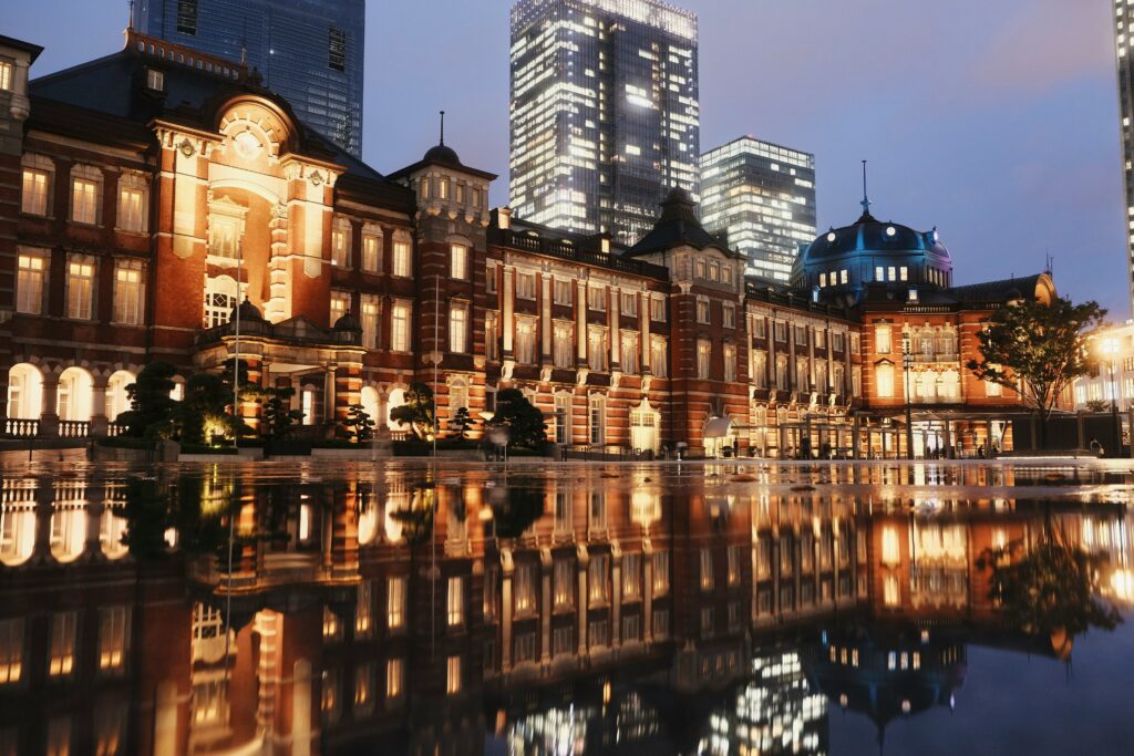
Plan a slower Shimane trip by choosing a few connected landscapes, such as Izumo and the coast, Matsue and Lake Shinji, or the Iwami silver-mining area, and giving each one enough time to shape your days. The prefecture works best when you leave space between shrines, shoreline, and castle towns rather than trying to complete a checklist. Start with two or three bases that make geographic sense and accept that some travel time is part of the experience, not wasted time. Use rail where it is direct and buses or a rental car where the coast and mountain valleys spread out. That rhythm helps you notice scale, weather, and the relationship between settlements and water.
A practical route might pair Izumo Taisha with nearby coastal stops, then continue to Matsue for its castle, canals, and views across Lake Shinji. If you have more days, add the Iwami Ginzan area or the western coast, but avoid adding every shrine, museum, and town simply because they appear close on a map. Build mornings around one main place, keep afternoons flexible, and allow meals, walks, and transfers to slow the pace. Shimane rewards travelers who connect history, religion, sea, and rural distances into one coherent journey.
Begin With Geography, Not a Checklist
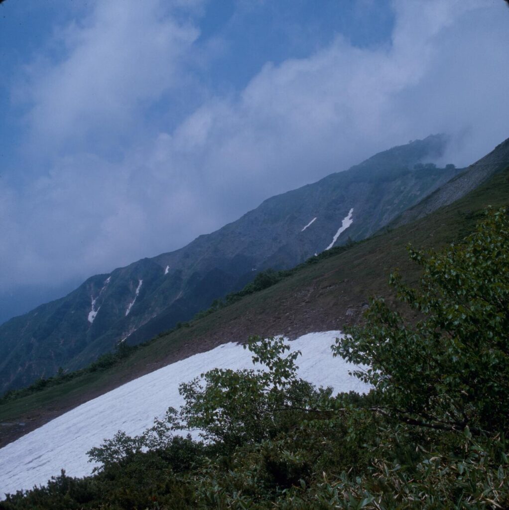
Shimane is easier to understand as a long coastal prefecture backed by hills than as a row of attractions to be checked off. The Sea of Japan shapes much of the route, with fishing ports, sandy beaches, rocky headlands, and offshore views appearing between towns. Inland, wooded slopes, river valleys, and old mining areas pull travel in different directions. Matsue and Izumo sit in the east near lakes, shrines, and castle-town streets, while the western Iwami area feels more spread out, with settlements separated by ridges and sections of coast. A good itinerary respects that shape.
For an independent traveler, this means choosing a few bases and giving each one room, rather than trying to cross the prefecture every day. Pair nearby places by landscape: Izumo Taisha with the surrounding coast and old approach roads, Matsue with its castle district and Lake Shinji, or Iwami Ginzan with nearby port towns and valley paths. Build in slower transfers, because rail lines and roads often follow the coastline or bend around hills instead of running straight. Leave space for weather, short walks, small museums, and meals that are not squeezed between departures. Shimane rewards a measured plan: fewer moves, better connections, and enough time to notice how shrine towns, fishing communities, and castle districts belong to the same geography.
Choose One Base for Each Rhythm
In Shimane, a slower trip works best when each base matches the pace of what you want to understand. Matsue suits travelers who want castle-town streets, canals, Lake Shinji, and easy day trips without repacking every night. Izumo gives more time for shrine visits, coastal walks, and the simple logistics of returning after the main crowds have moved on. Farther west, an Iwami base such as Oda, Omori, or Yunotsu can support a different rhythm, with mining heritage, port settlements, and train-linked coastal stops requiring more patience than a single dash across the map.
Staying several nights in one place also changes how the destination reads. A shrine precinct can feel different early in the day, at midday, and near dusk, even when the buildings have not changed. A waterfront town may reveal its practical side through commuters, school groups, fishing activity, and weather patterns that a short stop can miss. This approach reduces transport stress, leaves room for rain or missed connections, and supports small restaurants, museums, shops, and public baths by giving you time to use them at ordinary hours. It also helps you choose day trips more responsibly: instead of trying to cover all of Shimane, you can let each base define a smaller circle, then move on when that rhythm feels complete.
Shrines and Everyday Etiquette
In Shimane, shrines are not only sightseeing stops; they are places where people pray, maintain family habits, and mark transitions in life. Approach them with the same care you would bring to any active place of worship. At the torii gate, pause rather than stride straight through, and keep to one side of the approach when possible, leaving the center symbolically clear. At the purification basin, rinse your hands and mouth only if the ladles and water are set out for use, and follow the movements shown by other visitors without splashing or lingering. Before praying, put away food, lower your voice, and give people space. The common pattern at many shrines is to bow, offer a coin, bow twice, clap twice, pray, and bow once more; at Izumo Taisha, the clapping pattern differs, so posted signs or the behavior of worshippers are better guides than memory.
Photography deserves particular restraint. A shrine can be beautiful and still belong first to its caretakers and worshippers, not to a travel album. Check for signs before taking pictures, avoid photographing rituals or individuals at prayer, and do not step into roped, graveled, or raised areas to improve a composition. Slower travel means noticing the rhythm of cleaning, offerings, ema plaques, old trees, and seaside or mountain settings, then leaving without rearranging the place around your camera.
Let the Coast Change the Pace
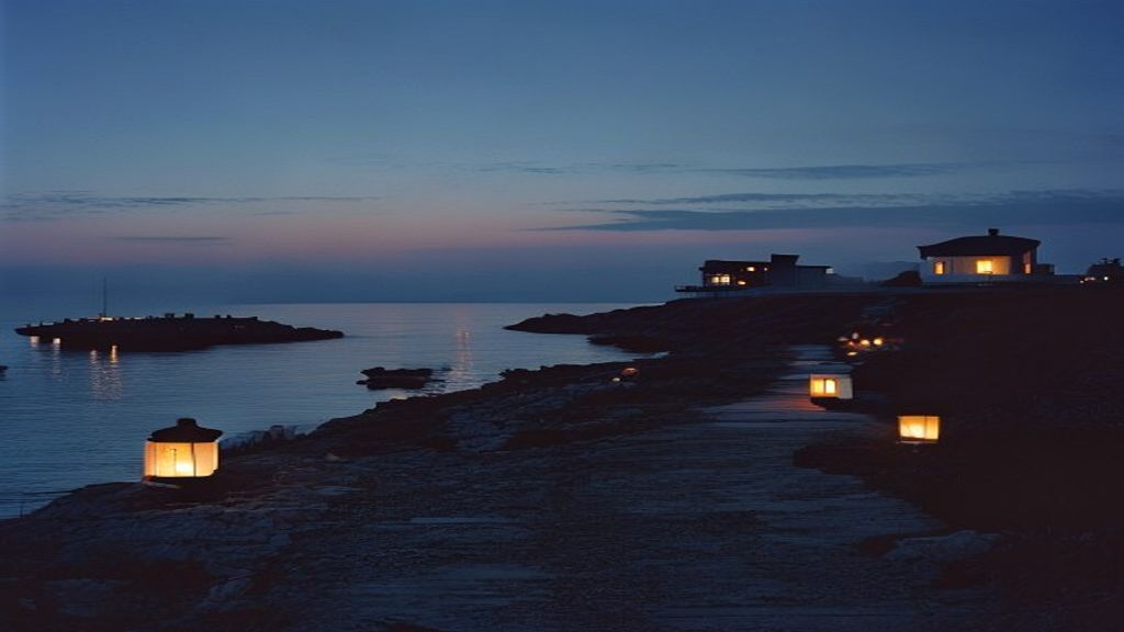
Along Shimane’s Sea of Japan edge, a good coastal day is less about covering distance than reading conditions. Wind can make a headland feel exposed, rain can push attention toward small museums or covered station areas, and clear air can lengthen the time you spend between stops. Plan with room to pause, turn back, or continue inland if the shoreline feels too demanding. The light changes quickly over water, fields, tiled roofs, and low mountains, so photography and walking work best when they follow the day rather than a fixed checklist. In Shimane, that flexibility is part of traveling well.
Fishing communities are part of the rhythm, but they are workplaces first. Keep clear of nets, gear, auction spaces, and private lanes, and use designated parking or station access when available. A coastal route can be built by rental car, local rail, bus, bicycle, or a mix, depending on distance and comfort with rural transfers. Roads often curve around coves and ridges, while rail travel narrows the focus to stations, short walks, and the time between departures. Carry water, a layer, and a backup plan, especially outside larger towns. Instead of trying to prove you have seen every viewpoint, choose a few places where the coast, settlement, and onward route can be understood together.
Build Room for Small Town Time
A slower Shimane route works best when the smaller towns are treated as part of the plan, not as gaps between major sights. Around castle districts, port areas, and shrine approaches, leave time for a modest lunch, a local sweet, or a shop selling ceramics, paper goods, tea, or everyday groceries. These stops do not need to be exceptional to be worthwhile; they help reveal how each town is organized and what residents use. Independent travelers can choose one or two neighborhoods per day, then let weather, train times, and energy decide the order. If a museum, archive, or folk craft center is nearby, use it as context rather than a checklist item, especially when exhibits explain waterways, castle rule, mining, religion, or rural life.
Flexibility also matters in conversation. In small shops, cafés, taxis, inns, and visitor counters, simple questions about ingredients, walking routes, bus stops, or seasonal conditions can lead to useful practical information. Approach these exchanges with patience, brief language, and respect for people who are working. Carry written place names, avoid pressing for recommendations when staff are busy, and accept that some places operate on limited staffing or irregular rhythms. Building slack into the day makes it easier to wait, browse, eat early, or move on without turning minor uncertainty into a problem.